Recently, the USDA changed the hardiness zones map for North America. But what does that mean for gardeners and how will a change affect it? When the new map emerged in November 2023, gardeners got all excited about the updated zones, but also confused by what it all means. One of the biggest factors affecting gardeners is that many have gained a zone or half a zone. But does it really affect what you can or cannot grow?
What is a hardiness zone? The hardiness zone, which is used by gardeners to determine whether or not a plant will survive, is based on a geographic region with a certain average annual minimum temperature over a period of years. But what does all that mean? Basically, what it means is that a plant’s performance in the landscape can be based (starting) on whether it is fit for the area chosen, by lowest average winter temperature.
Why Do Hardiness Zones Matter?
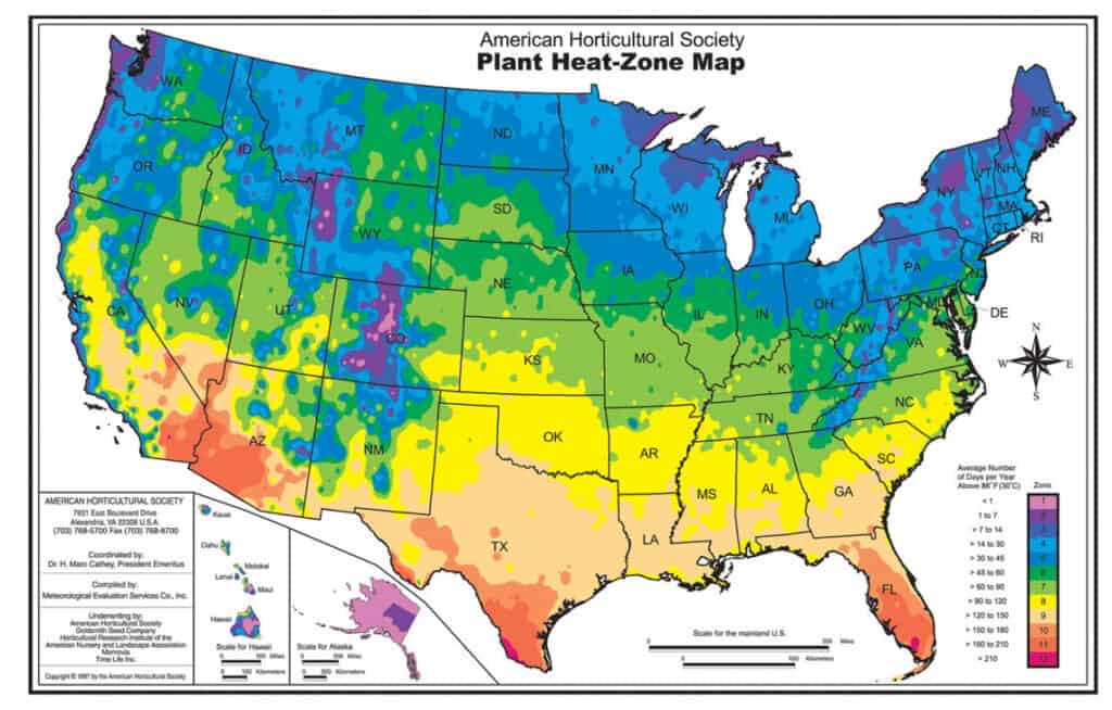
If you are wanting to add new plants to your landscape, it is important to know if they are cold hardy enough to survive the winter. This is what hardiness zones are used for. There is also a Heat Zone map, which is based on the number of heat days a given area has. A heat day is defined as a day in which the temperature climbs to over 86 degrees F. At this temperature, many plants begin to experience physiological damage and start to shut down their functioning. Heat Zones range from 1 (no heat days) to 12 (210 or more heat days). Both matter because they help gardeners determine which plants to put in their gardens, based on whether they survive the winter or the summer.
Zones within the USDA’s Hardiness Zone map are marked by different colors, each being a half zone difference. Half zones are labeled 6a or 8b respectively as needed. There is a 5 degree difference between each half zone. The data for deciding which zone to place an area in comes from 13,412 weather stations across North America. Data for the new and updated map was collected from 1991 to 2020 and is an average of the lows for each winter in each region.
How Does the New Map Affect Me?
While the newest map given raises from 5b to 6a or 6b to 7a in many areas, many more were unchanged. For gardeners in the Central Great Plains, I heard many ask about the change upward. Because it is based on an average of 30 year lows, I would not plan to grow things out of the old zone criteria. In other words, just because we are labeled zone 6a now, does not mean we should plant palms and bromeliads. We should stick with what we know works.
It is always okay for gardeners to try new things, but jumping to zone 6a plants may be too far out for most of us in the previous zone 5b rating. That is because of the low temperatures which happen regularly that are outside of the average low temp. If we get a temperature that is -25 degrees, then we risk losing all those zone 6a plants that we had to have. What I would expect is to see nurseries change the tagging of plants to reflect the updated map.
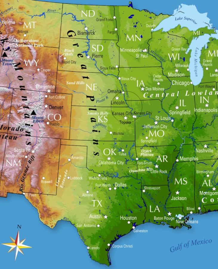
Where is the Central Great Plains Region?
When I refer to the Central Great Plains region, I am looking at a physical spot on the map. It ranges roughly from Omaha, NE south to Lawrence, KS. And east from Marysville, KS to Maryville, MO. This area is in the east central part of the Great Plains region, which stretches from Canada to Texas. See the map below.
This area was mostly 5a to 6a for the last 20 years or more, but has changed to mostly 6a to 7a with the update. The plant selections and recommendations will continue to reflect the old zones, as the weather knows nothing about maps and boundaries. Weather is cyclical, and we get snowy winters one year, and dry, warm winters the next. But it is no reason to start jumping into tropical plants because the map says we can.
Even within our region, there will be microclimates which get either colder or hotter than the map says. And you can have microclimates within your landscape, within a microclimate of the region. For example, in parts of my south facing hill landscape, there are spots which stay warmer on cold days than others. Usually, the coldest spot is the top of our hill, not the bottom. I have some Zone 6 plants already growing in those lower areas. I would never put them at the top of the hill.
Conclusion
Hardiness zones are useful tools when determining a plant’s ability to survive winter. However, the updated map should not be a reason to go hog wild when choosing new plants for your landscape. Use it with caution, trying only a few new things at a time. I fully expect nurseries to change the zone info on their tags to match the new maps.
Happy planting!